Givhans Ferry State Park
High bluffs over the blackwater Edisto River, with 1930s CCC cabins under the oaks.
- Dorchester County, SC
- Nearest town: Ridgeville
- 60 ft
Coordinates
- Lat
- 33.03538
- Lng
- -80.37436
Van camping
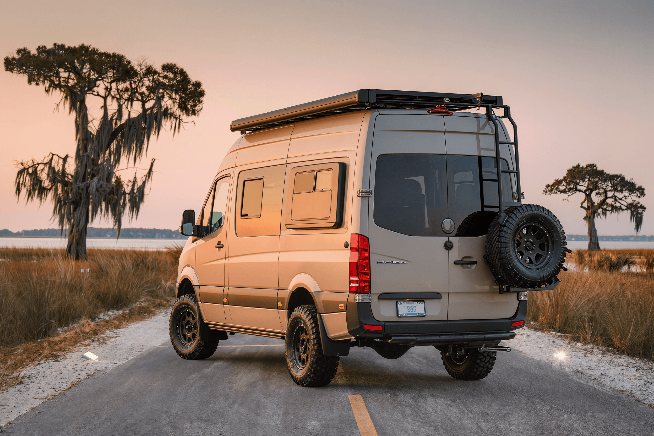
You can drive in and sleep in your van here.
At a glance
The basics
What to expect
State park
Reservable sites, paved or well-graded roads, bathhouses in season.
- County
- Dorchester County
- State
- South Carolina
- Nearest town
- Ridgeville
- Elevation
- 60 ft
- Max vehicle length
- Not verified
The place
About Givhans Ferry State Park
Givhans Ferry sits on limestone bluffs above the Edisto, said to be the longest free-flowing blackwater river in North America — dark, slow water the colour of tea, running beneath overhanging trees. The bluffs are a surprise in a landscape this flat, giving the park a genuine sense of elevation above the water, and the Civilian Conservation Corps cabins built in the 1930s still stand among the hardwoods. Paddling is the main event: the Edisto River canoe and kayak trail passes right through, and floating a section of it is the best way to spend a day here. Fishing, and easy trails along the bluff and down to the water.
For van drivers
Getting a van in and out
Paved access off SC 61 and a developed campground with drive-in sites on the bluff under oaks and Spanish moss. Summerville is about twenty minutes and Charleston around forty-five, which makes this a quiet, practical alternative to camping nearer the coast. The riverside areas can flood after sustained rain, so check conditions if the weather has been wet. Mosquitoes along the river at dusk are heavy in summer.
Written for a high-roof van, not a pickup. Surfaces and clearances change with the weather and with the season’s roadwork — the official page below is the last word.
On the ground
Facilities & fees
Not verified means nobody has confirmed it — treat it as unknown, never as a no. 8 of the 8 below are still unconfirmed.
- Restrooms
- Not verified
- Drinking water
- Not verified
- Showers
- Not verified
- Dump station
- Not verified
- Hookups
- Not verified
- Campfires
- Not verified
- Dogs allowed
- Not verified
- Reservations
- Not verified
- Max vehicle length
- Not verified — check with the park
- Season
- Not verified — check with the park
- Fees
- Not verified — check with the park
The last word on all of this is southcarolinaparks.com(opens in a new tab).
Where it is
Coordinates & directions
Decimal degrees
- Latitude
- 33.035375
- Longitude
- -80.374364
33.0354° N · 80.3744° W
No map tiles here on purpose. Half of these places have no signal at the gate, so coordinates you can save offline beat a map that needs one. Drop them into your phone before you turn off the pavement.
Nearest gas and groceries: Ridgeville
Before you go
Official sources
Fees, site counts, length limits and closures change season to season. Everything we have not confirmed ourselves is marked Not verified above rather than guessed at — and where we do have a number, the operator’s own page still wins.
Keep looking
Camp nearby
For sale