Black Mountain Campground
A riverside campground in Pisgah National Forest at the foot of the trail up Mount Mitchell.
- Yancey County, NC
- Nearest town: Black Mountain
- 2,999 ft
Coordinates
- Lat
- 35.75217
- Lng
- -82.22080
Van camping
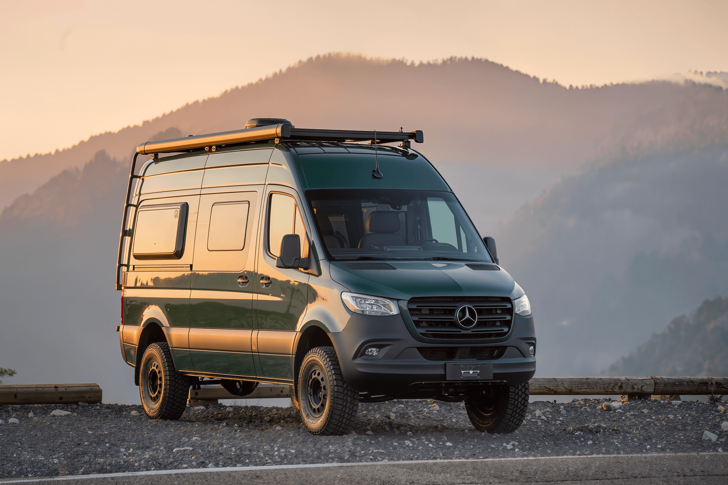
You can drive in and sleep in your van here.
At a glance
The basics
What to expect
National forest
Often first-come, gravel access, vault toilets, little or no signal.
- County
- Yancey County
- State
- North Carolina
- Nearest town
- Black Mountain
- Elevation
- 2,999 ft
- Max vehicle length
- Not verified
The place
About Black Mountain Campground
This is where you sleep if you intend to walk up the highest mountain in the eastern United States rather than drive up it. The Mount Mitchell Trail leaves from the campground and climbs more than 3,500 feet over roughly six miles, one of the longest sustained ascents in the region. Camp itself sits along the South Toe River in a tight, heavily wooded valley, with swimming holes in the river and the Toe River Valley opening out below. Even in midsummer the water is cold and the shade is deep.
For van drivers
Getting a van in and out
The last stretch in is Forest Service road along the river — narrow, with limited room to turn a long vehicle around and a few spots where passing an oncoming truck means one of you reversing. Shorter builds will be much happier here than a 170 extended. The valley walls mean no cell signal at all, so download maps before you leave the highway. Burnsville and Spruce Pine are the closest towns for supplies.
Written for a high-roof van, not a pickup. Surfaces and clearances change with the weather and with the season’s roadwork — the official page below is the last word.
On the ground
Facilities & fees
Not verified means nobody has confirmed it — treat it as unknown, never as a no. 8 of the 8 below are still unconfirmed.
- Restrooms
- Not verified
- Drinking water
- Not verified
- Showers
- Not verified
- Dump station
- Not verified
- Hookups
- Not verified
- Campfires
- Not verified
- Dogs allowed
- Not verified
- Reservations
- Not verified
- Max vehicle length
- Not verified — check with the park
- Season
- Not verified — check with the park
- Fees
- Not verified — check with the park
The last word on all of this is fs.usda.gov(opens in a new tab).
Where it is
Coordinates & directions
Decimal degrees
- Latitude
- 35.752170
- Longitude
- -82.220803
35.7522° N · 82.2208° W
No map tiles here on purpose. Half of these places have no signal at the gate, so coordinates you can save offline beat a map that needs one. Drop them into your phone before you turn off the pavement.
Nearest gas and groceries: Black Mountain
Before you go
Official sources
Fees, site counts, length limits and closures change season to season. Everything we have not confirmed ourselves is marked Not verified above rather than guessed at — and where we do have a number, the operator’s own page still wins.
Keep looking
Camp nearby
For sale