Hanging Rock State Park
Quartzite cliffs, five waterfalls and long Piedmont views in the Sauratown Mountains north of Winston-Salem.
- Stokes County, NC
- Nearest town: Danbury
- 1,700 ft
Coordinates
- Lat
- 36.39354
- Lng
- -80.26721
Van camping
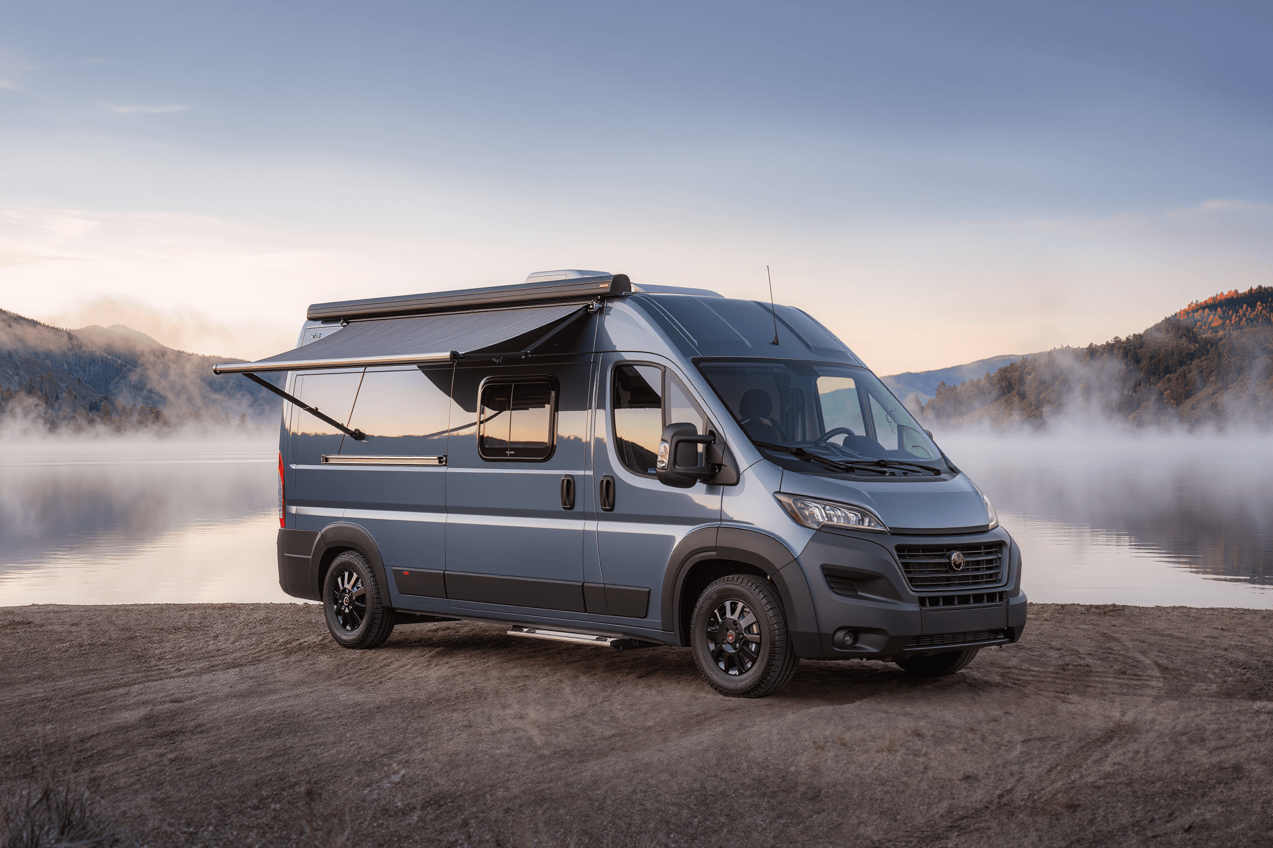
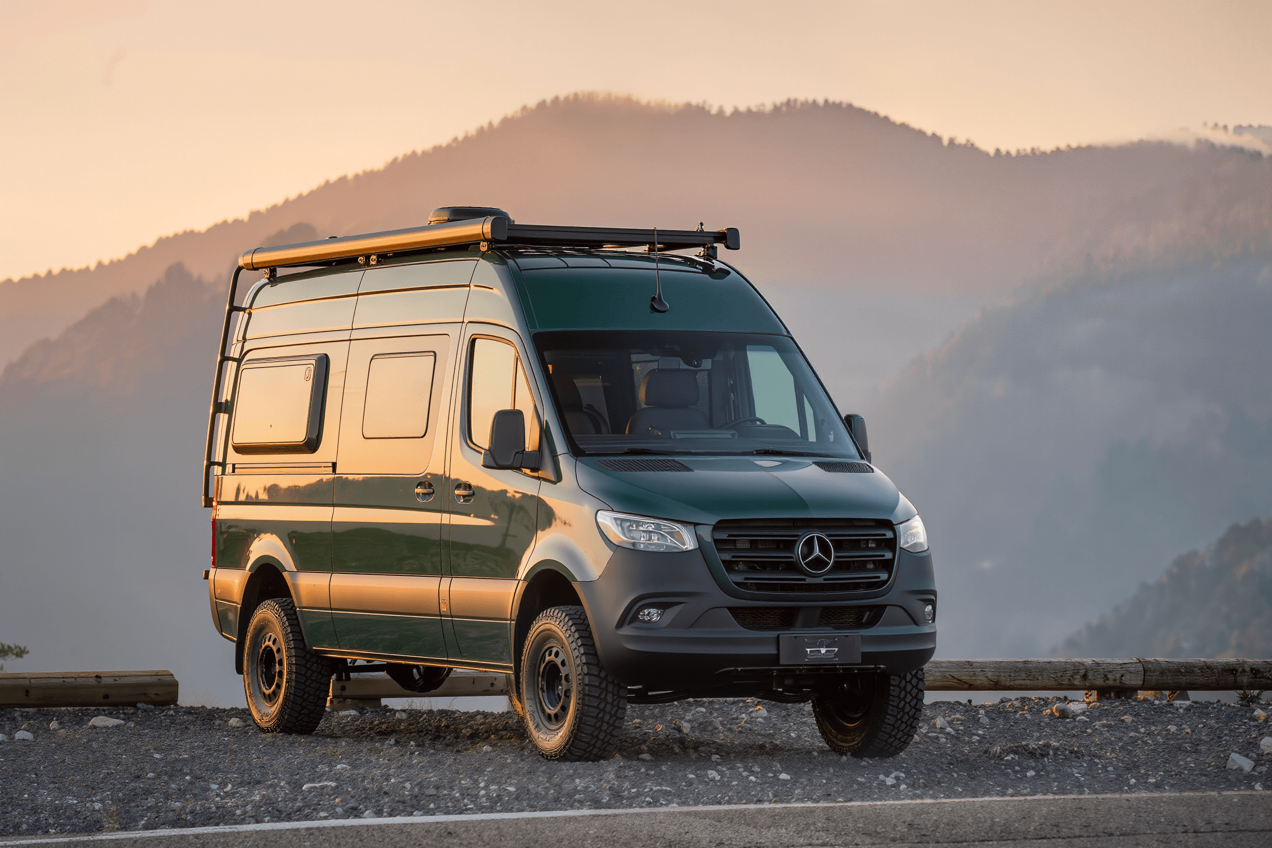
You can drive in and sleep in your van here.
At a glance
The basics
What to expect
State park
Reservable sites, paved or well-graded roads, bathhouses in season.
- County
- Stokes County
- State
- North Carolina
- Nearest town
- Danbury
- Elevation
- 1,700 ft
- Max vehicle length
- Not verified
The place
About Hanging Rock State Park
The Sauratown range stands alone, well out ahead of the Blue Ridge, which is why the views from the top reach so far across the Piedmont. Hanging Rock itself is a quartzite prow jutting into open air at the end of a steady climb, and the summit rock is the single most recognisable viewpoint in this part of the state. The park also holds an unusual concentration of waterfalls for its size — Window Falls, Hidden Falls, Lower Cascades among them — most on short trails. A CCC-built lake with a stone bathhouse sits below the ridge, and the rock faces draw climbers.
For van drivers
Getting a van in and out
Paved access from Danbury and a developed state park campground, so this is straightforward in any size of build. The internal park road climbs steadily to the trailhead parking, nothing dramatic. Danbury is very close for basics and Winston-Salem is around forty minutes for anything more. Weekend parking at the main trailhead fills early in autumn.
Written for a high-roof van, not a pickup. Surfaces and clearances change with the weather and with the season’s roadwork — the official page below is the last word.
On the ground
Facilities & fees
Not verified means nobody has confirmed it — treat it as unknown, never as a no. 8 of the 8 below are still unconfirmed.
- Restrooms
- Not verified
- Drinking water
- Not verified
- Showers
- Not verified
- Dump station
- Not verified
- Hookups
- Not verified
- Campfires
- Not verified
- Dogs allowed
- Not verified
- Reservations
- Not verified
- Max vehicle length
- Not verified — check with the park
- Season
- Not verified — check with the park
- Fees
- Not verified — check with the park
The last word on all of this is ncparks.gov(opens in a new tab).
Where it is
Coordinates & directions
Decimal degrees
- Latitude
- 36.393538
- Longitude
- -80.267212
36.3935° N · 80.2672° W
No map tiles here on purpose. Half of these places have no signal at the gate, so coordinates you can save offline beat a map that needs one. Drop them into your phone before you turn off the pavement.
Nearest gas and groceries: Danbury
Before you go
Official sources
Fees, site counts, length limits and closures change season to season. Everything we have not confirmed ourselves is marked Not verified above rather than guessed at — and where we do have a number, the operator’s own page still wins.
Keep looking
Camp nearby
For sale